Why Project Booyn?
Chinar has long been a part of Kashmir’s cultural and natural heritage. It is under a threat of near extinction. Although tree-felling has curtailed to some extent, Chinar is still dying rapidly. Read more about the threat to Chinar in this brief carousel post on Instagram: Here
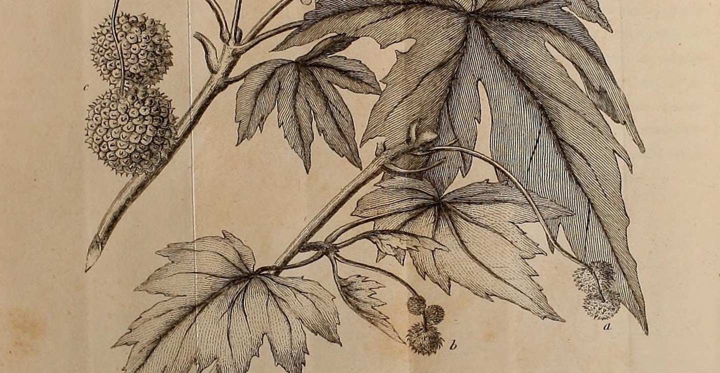
Chinar (Platanus Orientalis) is classified as “data deficient” according to the ICUN Red List (The International Union for Conservation of Nature Red List of Threatened Species). That means there isn’t enough data to determine the exact threat level to Chinar.
What would the project consist of?
Information and knowledge guide
Data accumulation and software tools
The guide
We’ll begin with a comprehensive know-how e-guide/book for everyone to read and utilize. The guide would consist of the following components:
General Know-how:
What is a Booyn botanically? What is different about the “Kashmiri” Booyn?
What is the historical significance of Booyn? How is it a part of Kashmiri cultural and natural heritage?
What is the environmental significance of the Booyn?
Useful Guidelines:
What is harmful to Booyn?
How to keep a Booyn healthy? (prolong, increase its life expectancy).
How to cultivate the Booyn tree? What are some guidelines to ensure its efficient cultivation?
THE DATA AND APP:
The second part of the solution is to assimilate enough data for experts to study and determine the threat level and build solutions. To enable that, we first need to geo-tag all Chinar trees in different parts of the valley. That requires a user-friendly software application for everyone to use. After that, each Chinar tree would need to be studied constantly to accumulate further data accordingly.
How can you contribute?
If you are willing to help and own a smartphone, you can contribute.
Critical tasks and requirements:
Onboarding experts into the project (foremost step).
Content Writing.
Designing the data architecture.
Creating a UX strategy.
Designing an Interface for the App.
Development of the application.
Propagation of the solution.
Update 2025:
Authorities have attempted to geo-tag Chinar trees, but the effort remains a half-baked, spineless solution. For the past two years, the project has remained dormant, with no significant developments. We have been unable to find willing experts. If you are an expert in this field, please contact me or join our community on Discord.